
While the winter forecast from the National Weather Service calls for near-average precipitation in Missouri, the forecast calls for wetter than normal conditions in the northern sections of the country - and that could lead to more problems along the Missouri River in the coming months.
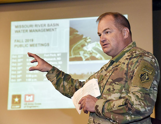
On Friday, the U.S. Army Corps of Engineers held the last of seven public meetings at locations along the Missouri River to give updates on the current state of river operations and what's planned for next spring.
Mark Fuchs, NWS hydrologist, was among those presenting information. He said the forecast in Montana as well as North and South Dakota shows some of the greatest chances for higher than normal precipitation from November through January. That includes the upper reaches of the Missouri River, which still has high soil moisture from months and months of heavy rains and snows.
"Much of the soil in that area could be described as a large sponge," Fuchs said. "That means it won't take much precipitation to start runoff and could lead to more flooding."
Fuchs said they'll have their spring forecast ready in February, but he cautioned residents should be prepared for another round of flooding this spring if the current forecast holds.
"It would be wise to be ready for it," Fuchs said.
Corps officials said they plan to keep releases from Gavins Point Dam, which is the southern most dam on the northern section of the Missouri River in the Dakotas, at 80,000 cubic feet of water per second through mid-December. They said they have to continue the above-average release to complete evacuation of stored flood waters. By mid-December, they plan to reduce to the winter rate of 25,400 cfs and eventually 22,000 cfs in January and February.
The question asked most at Friday's meeting was if the Corps could reduce discharges from the dams.
Landowners and levee district officials said a reduced discharge for a few days could allow areas downstream to naturally recede so crews could begin some levee repairs. Then the flood gates could be reopened, they said. The concern was with so many levees needing repairs, the higher than normal discharges could be adding to an already dangerous situation.
"If the forecast comes to fruition, we'll need to release at 80,000 cfs just to evacuate the flood control storage at our upper dams," said John Remus, chief of Missouri River Basin Water Management for the Corps. "We are very aware of the fragility of the levee system. It's in bad, bad shape. We tried a plan earlier this year to help keep I-29 in northern Missouri by lowering discharges, but we soon found it wasn't going to work, and the road had to be closed anyway.
"To try and bring relief like you're talking about here would mean going down for long period of time," Remus added.
One manager asked if discharges could be reduced for a month.
Remus said: "We did look at it and ran through the calculations but realized we just couldn't evacuate the flood storage as needed. Less flood control storage in the spring is not good for anyone in the basin. You'd be starting the year with one hand tied behind your back."
As far as ways to lower exposure to flooding, there is a study that state government officials along the lower Missouri River are wanting to get done.
At Friday's meeting, Dru Buntin, deputy director for the Missouri Department of Natural Resources, said Gov. Mike Parson has met with the governors of Nebraska, Iowa and Kansas, along with representatives in Congress, to get support for the study.
It will likely take years to complete, but they'll be looking at structural and non-structural options for flood risk, including possibly modifying existing levees and/or the river channel.
At Friday's meeting, Peggy Smart, who serves on several area levee districts including the Renz, which is an agricultural levee upstream of Jefferson City on the left descending bank of the river, said the biggest problem they face is the amount of time it takes to go through getting the levees repaired. Renz was approved by the Corps for rehabilitation assistance.
"We probably won't see repairs started until sometime next year," Smart said. "You have to get the easements. It's not an easy process. We went through this process back in the '80s so we just need to realize it's going to take time to get these done."