
Locally heavy rainfall from storms moved eastward across Missouri Tuesday afternoon, increasing flood risk throughout much of the state and raising Missouri River levels, according to the National Weather Service (NWS).
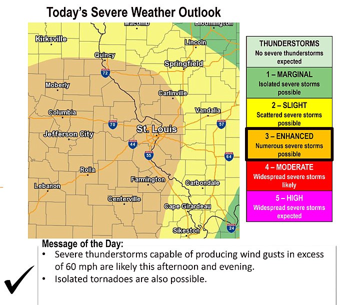
A Tornado Watch was issued for much of Mid-Missouri. The watch was set to expire at 7 p.m. for Camden, Maries, Miller and Morgan counties, and expire at 10 p.m. for Boone, Callaway, Cole, Gasconade, Moniteau and Osage counties.
A Flash Flood Watch continues for Mid-Missouri. Heavy rainfall will result in flooding of low lying or poor drainage areas and ultimately dangerous flash flooding on smaller creeks and streams. Significant rises on larger streams and rivers will also be possible.
In addition, the forecast for flooding has changed from moderate to major severity along the Missouri River at Boonville, Jefferson City, Chamois, Gasconade, Hermann, Washington and St. Charles, as well as the Osage River near Mari-Osa Campground. River forecasts are based on observed precipitation and forecast precipitation for the next 24 hours.
The NWS advises rainfall heavier than forecast could cause river levels to rise even higher than predicted, and warns motorists to never drive cars, trucks or sport utility vehicles through flooded areas. The water may be too deep or current too strong to allow for safe passage.
A Flood Warning continues for the Missouri River at Jefferson City. At 1 p.m. today, the stage was 25.55 feet, up from 24.89 feet at 8 a.m. Flood stage is 23.0 feet. Major flooding is forecast. The river is forecast to crest near 32.7 feet Thursday afternoon. (Use the links below for updates and other area river stages, weather information and utility outages.)
The NWS lists the following impacts at various river stages based on historical observations:
* Impact: At 32.0 feet...Highway 179 at Marion, northwest of Jefferson City, floods. In downtown Jefferson City, Missouri Boulevard, Geneva Street, Broadway Street, and West Dunklin Street all begin flooding. Also, this represents the protection level of the levee protecting Hartsburg and the Rievaux levee just west of Wainwright.
* Impact: At 31.1 feet...The Katy Trail floods near Claysville.
* Impact: At 31.0 feet...Railroad tracks begin to flood. The Cedar City levee at the Highway 63 bridge, the Capitol View levee south of the airport, the Wainwright levee, and the Jacobs levee near Tebbetts all overtop near this height.
* Impact: At 30.5 feet...The Renz levee upstream of Jefferson City and north of the Missouri River and the Capitol View levee protecting the airport are overtopped near this height.
* Impact: At 30.1 feet...Power plant operations are affected. Airport property begins to flood.
* Impact: At 30.0 feet...The Tebbetts East Levee south and east of Tebbetts and the Cole Junction levee just northwest of Jefferson City are overtopped near this height. Also...the Prison Farm and Hartsburg Section 3 levees are overtopped near this height. Washington Park along Wears Creek begins flooding.
* Impact: At 29.1 feet...The Katy Trail floods between McBaine and Easley.
* Impact: At 29.0 feet...Osage City on the Osage River may begin flooding from backwater. This is particularly true when the St. Thomas gauge is above 11 feet. Also, the prison farm levee 7 to 10 miles north of Jefferson City will overtop near this stage.
* Impact: At 28.0 feet...Walnut Street just southwest of U.S. Highway 50/63 begins flooding.
* Impact: At 27.0 feet...Near this height, Highway 94 near Portland and Harold Cunningham and Fox Hollow Roads near Easley begin flooding.
* Impact: At 26.6 feet...The Katy Trail floods near Wilton.
* Impact: At 26.5 feet...The Katy Trail floods near Easley.
* Impact: At 26.3 feet...State Route 179 near Sandy Hook is closed due to flooding. Also, State Highway K one mile east of McBaine in Boone County is closed.
* Impact: At 26.0 feet...Pumping from a ditch in Hartsburg begins. At this height...numerous county roads near McBaine... Easley...and Ashland are flooded. These include Coats Lane... Grocery Branch... Burr Oak... Old Plank... Cedar Tree... Jemerson Creek... Christian School... Claysville... and Soft Pit Hill Roads.
* Impact: At 25.0 feet...The levee protecting McBaine is breached near this height.
* Impact: At 24.5 feet...The Katy Trail Floods near Rocheport.
* Impact: At 23.9 feet...Easley River Road is closed along the river near Easley.
A Flood Warning continues for The Osage River near Mari-Osa Campground. At 8 a.m. today, the estimated stage was 20.8 feet. Flood stage is 19.0 feet. The river is forecast to crest around 30 feet Wednesday afternoon or evening. (Use the links below for updates and other area river stages, weather information and utility outages.)
* Impact: At 25.4 feet...A house directly across the river from the gauge begins flooding near this height.
* Impact: At 25.0 feet...Across the Maries River from the gauge, considerable cropland becomes inundated. This flooding probably begins between 20 and 23 feet.
* Impact: At 24.0 feet...A storage shed across the river and downstream of the gauge begins flooding near this height. Also, lower driveways across the river begin flooding near this height.
* Impact: At 22.0 feet...A storage shed across the river from the gage begins flooding near this height.
* Impact: At 20.0 feet...Near this stage the lowest two campsites at Mari-Osa campground begin flooding.
Weather resources:
St. Louis National Weather Service watches, warnings via Twitter
Ameren's Truman and Bagnall Dam daily report
Utility outage reports:
Three Rivers Electric Cooperatve
Three Rivers Electric on Facebook
Association of Missouri Electric Cooperatives (statewide coop updates)