
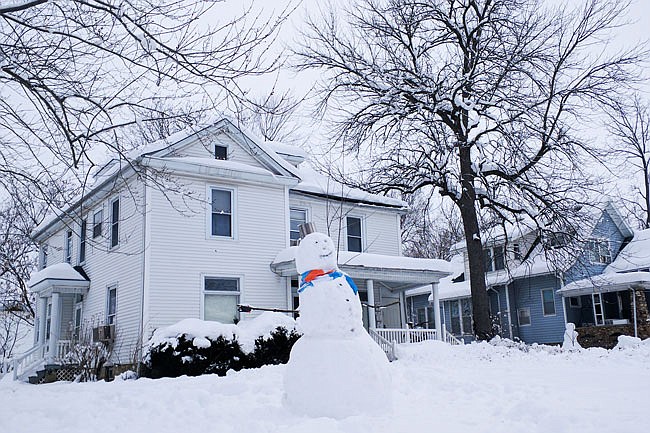
As Callaway County continues to snooze under its thick white blanket, city and county employees are working hard to prepare for its reawakening.
Paul Winkelmann, head of the county's road and bridge department, said this type of snow is particularly difficult to clear.
"It's a lot of snow, and it's wet and heavy snow, real hard to deal with," he said. "It's hard to move off the road - it's slow going."
A winter weather system stretching from Colorado to the East Coast dropped about 20 inches of snow in Fulton throughout Friday and Saturday, based on unofficial measurements. The snowfall may approach or exceed record levels. According to data for nearby Columbia from the National Weather Service, the highest recorded 24-hour snowfall was 19.7 inches on Jan. 18 and 19, 1995.
According to the University of Missouri, the northern half of Missouri averages 18-24 inches of snow per year.
Winkelmann said county crews worked most of Friday evening, through the night and all day Saturday, Sunday and Monday to clear the county's 820 miles of roads.
"We've been through most of them and got them opened up," he said. "Now we're trying to go back and widen and put down cinders."
The City of Fulton's white pickup trucks have also been a near-constant presence on roads throughout town. Employees of Fulton's public works department could not be reached for comment.
Most area schools, including private and public schools and colleges, released students early Friday and remained closed Monday. Churches cancelled Sunday services and many small businesses shut their doors.
While the Missouri Department of Transportation reported that all major area highways were passable by Monday, some smaller rural roads remained slick.
Highs above freezing are expected each day until Saturday, when the NWS predicts another round of snow for the area.