
For now, it appears Callaway County's drought status is on the mend.
For much of the late summer, the county and others have been stuck in the D3 status, but the U.S. Drought Monitor map updated Thursday showed Callaway has dropped to D2 status, or a severe drought. D3 signifies extreme drought.
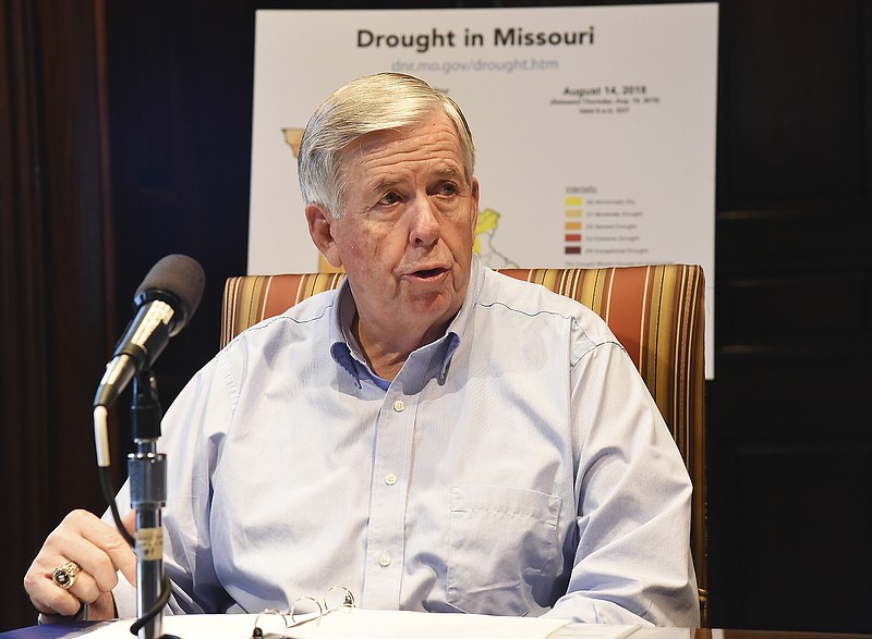
People can view the map at dnr.mo.gov/drought.htm. There is also an animated map showing drought progression from July 10-Oct. 9 below the Missouri drought monitor map.
The U.S. Drought Monitor indicated 54.71 percent of the state is still experiencing dry or drought conditions. However, this is an improvement of 11.98 percent from last week. Ten counties, including Callaway, remain in D2 or greater status, a decrease from 31 counties last week.
No counties are in D4 or D3 status. Last week, three counties were in D4 status and 12 counties were in D2 status. Sixty-one counties are no longer in D2 or greater status. This is the first time since July 31 no counties are in D4 status and the first time since July 3 no counties are in D3 status.
D2 conditions also exist in portions of Boone, Clay, Cole, Cooper, Howard, Jackson, Moniteau, Morgan and Platte counties.
Counties no longer in D2 or greater status include Adair, Andrew, Audrain, Barry, Barton, Benton, Buchanan, Caldwell, Carroll, Cass, Cedar, Chariton, Christian, Clark, Clinton, Dade, Dallas, Daviess, DeKalb, Douglas, Gentry, Greene, Grundy, Harrison, Hickory, Holt, Jasper, Johnson, Knox, Laclede, Lafayette, Lawrence, Lewis, Linn, Livingston, Macon, Maries, McDonald, Mercer, Monroe, Newton, Nodaway, Osage, Pettis, Phelps, Polk, Pulaski, Putnam, Randolph, Ray, Saline, Schuyler, Scotland, Shelby, St. Clair, Stone, Sullivan, Taney, Webster, Worth and Wright counties.
Reports and photos are essential tools used in the assessment of drought conditions. As drought conditions continue, residents are strongly encouraged to report livestock stress, crop damage, and low water in ponds and streams by submitting information using the Missouri Extension Drought Impact Reporter online at bit.ly/2OdCcHd. Information will be used to assess conditions in each county and to inform drought maps provided by U.S. Drought Monitor for Missouri (bit.ly/2C2nm4j).
A map is available that provides drought condition reports and photos that were submitted by citizens. A "Pictures" tab is available for easily locating reports that contain photos. The Experimental Missouri Drought Conditions & Impacts Map is at arcg.is/0Xrvy4.